
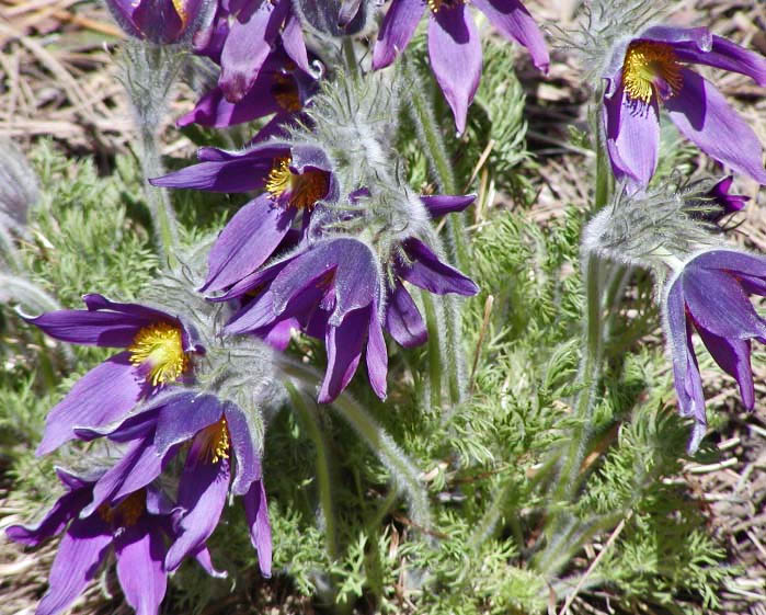
Photo: Stan Shebs
Pasque flower — State Flower
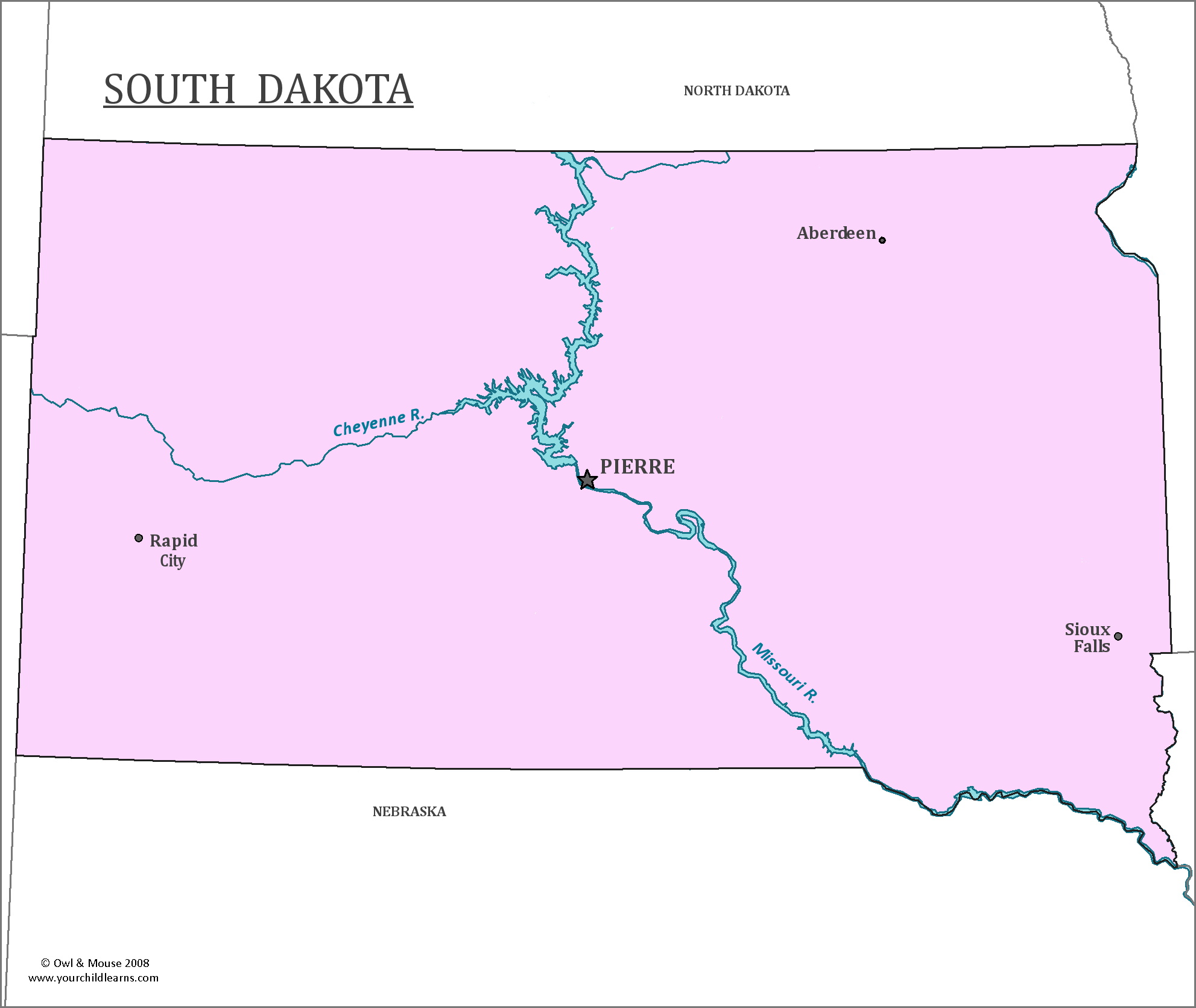
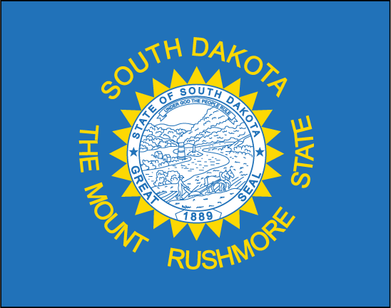
South Dakota
South Dakota is located in the Midwestern region of the United States, in the northern portion of the country. South Dakota contains the geographic center of the entire United States.
Date first discovered by Europeans: It is unclear when Europeans first discovered the territory, but a map from 1701 may indicate that Pierre-Charles Le Sueur, a French explorer, was the first European to explore the lands that would become South Dakota.
Date admitted to US: 1889
Capital: Pierre
Largest City: Sioux Falls
Terrain: Most of South Dakota is a part of the Great Plains region of the United States, which is mostly prairie. The portion of the state west of the Missouri River is slightly more rugged, and has ravines and rolling hills. This portion is home to the Badlands National park, a set of ravines and buttes. The Southwestern portion of the state is home to the Black Hills, a small isolated mountain range covered in forests.
Area — 77,116 sq mi
Area rank-17th
Population-853,175
Population rank-46th
Electoral votes-3
South Dakota has Mt. Rushmore, an immense statue carved into the granite mountain. It depicts sixty-foot heads of four US presidents-Lincoln, Washington, Theodore Roosevelt and Jefferson.
The unfinished statue in honor of Crazy Horse is in the Black Hills. This statue has attracted much controversy, given its location in the sacred Black Hills, (which has served as a burial grounds), private funding, and concerns over profit from the memorial.
The North American continental pole of inaccessibility is located in South Dakota. A continental pole of inaccessibility is the most difficult point of a continent to reach.
Print this map of the United States US States and Capitals Map Quiz
Free Maps, Map Puzzles and Educational Software: Owl and Mouse Educational Software
