

Photo: Alexwcovington
Wild prairie rose — State Flower
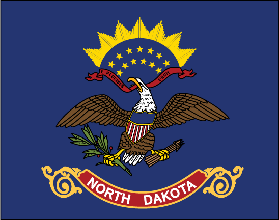
North Dakota
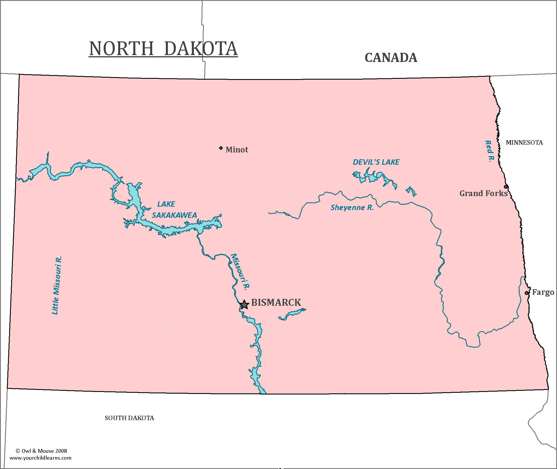
North Dakota contains the geographic center of the North American continent.
Date first discovered by Europeans: Pierre Gaultier de Varennes, sieur de La Vérendrye, French-Canadian explorer and fur trader was the first European in the area that would become North Dakota between 1738 and 1739.
Date admitted to US: 1889
Capital: Bismarck
Largest City: Fargo
Terrain: Nearly the entire state is in the Great Plains region of the United States. The Great Plains make up the central part of the United States, with many states and even a part of Canada lying within the region. The Great Plains are characterized by flat prairie and grassland.
Area: 70,700 sq mi
Area rank: 19th
Population: 756,927
Population rank: 47th
Electoral votes: 3
North Dakota has the largest number of churches per capita of any state. Most of these churches are in rural regions of the state, and nearly 2,000 of them are considered historic buildings. However, many of these churches are in decline and many are closed or otherwise abandoned.
The capital city of North Dakota was named Bismarck one year after its founding. It was named in honor of the Chancellor of Germany, Otto Von Bismarck, in the hopes that such a name would appeal to German immigrants who would then settle there and invest in the railroad.
Many Germans did immigrate to the region, making for a high German-American population in the region. Until World War II, much of the state used both German and English, even for official matters. After the anti-German sentiment caused by World War II, the usage of German went into decline.
Print this map of the United States US States and Capitals Map Quiz
Free Maps, Map Puzzles and Educational Software: Owl and Mouse Educational Software
