
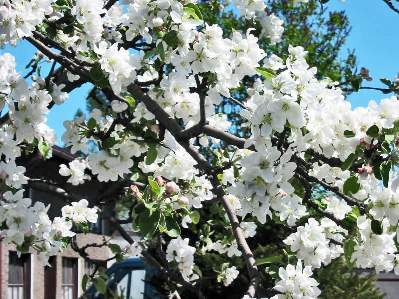
Photo: Krzysztof P. Jasiutowicz
Apple Blossom — State Flower
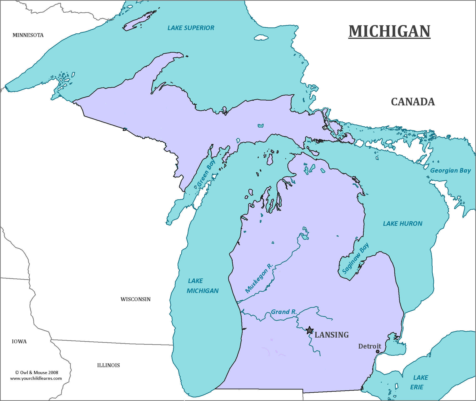
Michigan
Michigan is a state in the midwestern region of the United States. It is bordered by four of the five Great Lakes (Lakes Erie, Huron, Michigan and Superior). The state consists of two large peninsulas, separated by the Straits of Mackinac. The Lower Peninsula of Michigan is readily recognized by its mitten-like shape.
Date first visited by Europeans: French explorer Étienne Brûlé's expedition in 1622 was the first European expedition to reach what would become Michigan.
Date admitted to US: 1837
Capital: Lansing
Largest City: Detroit
Terrain: The Upper Peninsula of Michigan is heavily forested. The eastern portion of the Peninsula is swampy and flat, due to being a part of the Great Lakes Plain. The more rugged Western half is a part of the Canadian Shield, and contains most of the state’s ore resources.
The Lower Peninsula is generally flat, with signs of the glaciers which once covered it. Moraines, debris left behind by the glaciers, are commonly found in the Lower Peninsula.
Area: 96,716 square miles
Area Rank: 11th
Population: 9,909,877
Population rank: 10th
Electoral Votes: 16
Michigan has the most inland coastline of any state in the US; it has more than 11,000 inland lakes which contribute to its name. Michigan is derived from the French form of the Ojibwa word mishigamaa, which means ‘large water’ or ‘large lake’. There are so many lakes in or bordering Michigan that no one point in the entire state is more than 6 miles away from a lake. Michigan also has the largest state park and state forest system of any U.S. state.
Michigan is where many automobile companies, including Dodge, Ford and General Motors are headquartered. All three were established in Michigan near the beginning of the 20th century. The waterways of the Great Lakes, existing manufacturing for machines, and many railways made Detroit a ideal place to mass produce automobiles made on an assembly line. During Prohibition, the many waterways of the region and its proximity to Canada also made it a center of alcohol smuggling.
Today, Detroit has a high crime rat, and much urban decay. Detroit has nearly 70,000 abandoned buildings, and 31,000 empty houses, few of which are maintained in any sense. By the early 2000’s, Detroit had lost nearly a quarter of its population. The cause of this decline is linked to the decline in American auto manufacturing.
Print this map of the United States US States and Capitals Map Quiz
Free Maps, Map Puzzles and Educational Software: Owl and Mouse Educational Software
