


Photo: A. Gray
Hawaiian Hibiscus — Hawaii State Flower
Hawaii
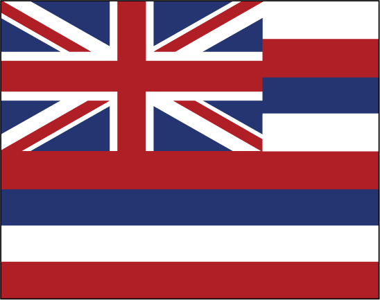
HAWAII
Map of Hawaii: Hawaii is an island chain in the central Pacific Ocean, and is a part of Oceania, not the continent of North America. It is the most northerly island chain in Polynesia, and the only U.S. state to be comprised entirely of islands.
Date first discovered by Europeans: In 1778, Captain Cook was the first documented European to have seen the island chain. An expedition led by Spanish explorer Ruy López de Villalobos possibly saw the island chain nearly 200 years before Captain Cook, but this is debated by scholars.
Date admitted to US: 1959 and is the most recent state to be admitted into the United States.
Capital: Honolulu
Largest City: Honolulu
Landscape: Hawaii is composed of numerous islands of volcanic origin. Kilauea Iki is the world’s most active volcano, and earthquakes are common in Hawaii due to the geological activity.
It also contains several atolls, such as the Midway and the Laysan atolls.
Mauna Kea is the world’s highest mountain, as measured from its base on the ocean floor.
Area: 10,931
Area rank: 43rd
Population rank: 40th
Population: 1,419,561
Electoral votes: 4
Hawaii was once an independent country that lasted until the 19th century, until it was taken over by foreigners. Many of the members of the coup were American or English businessmen, and they had the backing of U.S. Marines. After a short 4-day, rebellion in 1895 by Royalists, Queen Liliʻuokalani was placed under house arrest.
Located in the capitol district of Honolulu, ‘Iolani Palace is the only royal palace in the United States. The building served as the capitol of the U.S. state until 1969. In 1978, the palace, which had been restored, was finally opened to the public, and is now a National Historic Monument.
Print this map of the United States US States and Capitals Map Quiz
Free Maps, Map Puzzles and Educational Software: Owl and Mouse Educational Software
