
Quill's Quiz - 1100 Question US Mega Geography Quiz
Print this map of Mali US States and Capitals Map Quiz
Free Maps, Map Puzzles and Educational Software: Owl and Mouse Educational Software
Print this map of Mali US States and Capitals Map Quiz
Free Maps, Map Puzzles and Educational Software: Owl and Mouse Educational Software
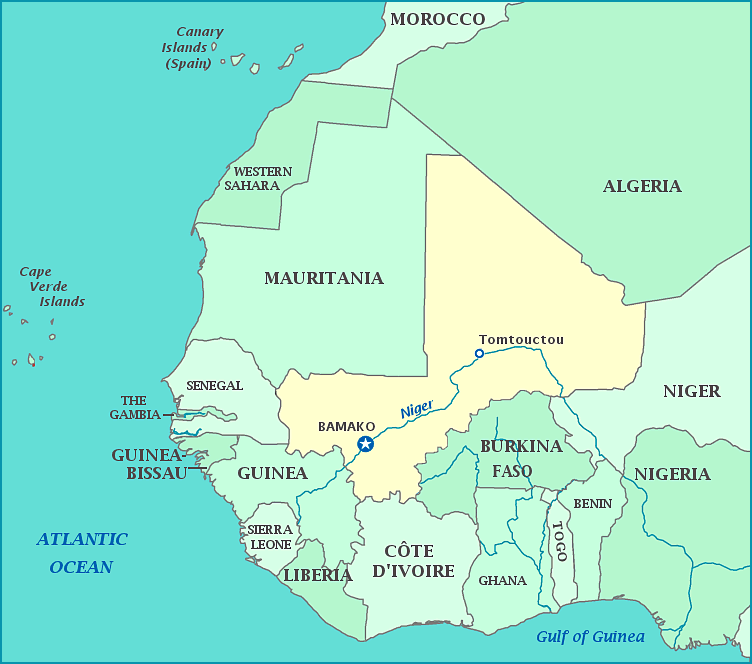
The history of Mali has been marked by war, revolution and coups. The empires of Mali, Songhai, and Ghana were the first rulers, but all were conquered by the Almoriavds, who were in turn beaten by the French who named the area French Sudan, and later the Sudanese Republic. The country peacefully gained independence in 1969, but following that, all major government changes were due to coups—the first coup led to the country becoming democratic in 1991; a later coup suspended the constitution and a group of soldiers took control; and in 2012, the last resulted in the area known as Azawad declaring itself it own country and seceding from Mali (though they have yet to officially be recognized as one). Mali has also suffered a great famine due to drought and locusts, which lasted from 1738 to 1756. Mali is in the upper western part of Africa. Although the country is the third largest gold producer in the world, half the population lives in poverty.
