
Print this map of Equatorial Guinea US States and Capitals Map Quiz
Free Maps, Map Puzzles and Educational Software: Owl and Mouse Educational Software
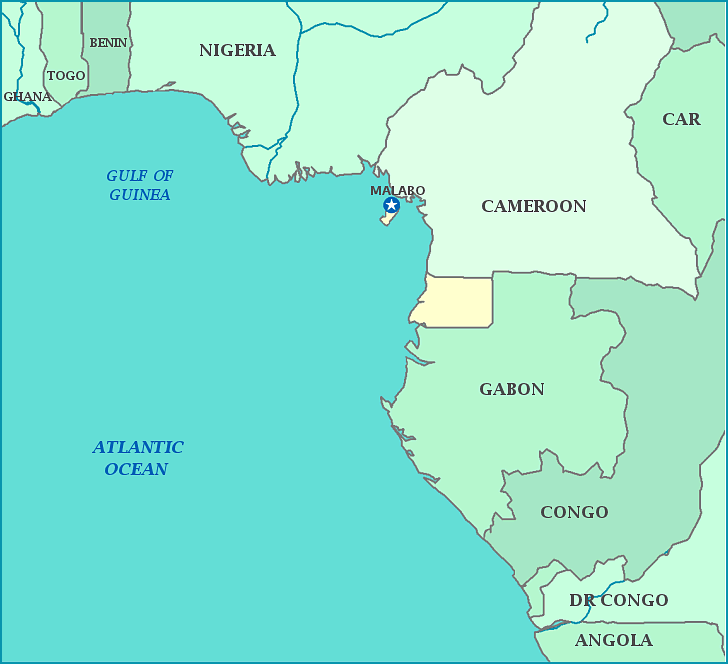
Equatorial Guinea, divided into continental and island regions, is the only African country in which Spanish is the official language. Despite the name, Equatorial Guinea does not lie on the equator. On the island of Annobon, a cloudless day has never been registered. The capital is Malabo, which like the rest of the country, has seen extremely hard times in recent decades. The country gained independence in 1968, a month after President Macis Nguema was elected; under his regime, a third of the population was killed. Under the latest president, Teodoro Obiang, the literacy rate of the country dropped from 73% to 13% and the country has the worst human rights record in the world. The discovery of petroleum recently has yet to be determined as a boon or curse for most of the citizens, as wealth lies in the hands of only a few.
