Map of Central America
     

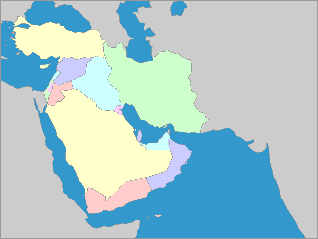
The Middle East is a region, not a continent.

  In a sense, it is the north-east corner of Africa, the southwestern tip of Asia, and the Arabian Peninsula.  All of the countries border either  the Red Sea, the Mediterranean Sea, the Persian Gulf, or the Gulf of Oman as it goes into the Arabian Sea. The countries share a hot, dry climate influenced, in part, by nearness to the sea.  All of them, except Israel, share the Islamic religion and similar cultures, though this does not keep them from conflict with each other.

We welcome all comments on your experience with our maps and software.
E-Mail us at: "Owl and Mouse" <owlmouse at yourchildlearns dot com>
All Material Copyright 1998-2015 Owl and Mouse Educational Software except as noted.
All pages and downloadable software may be freely used for individual and classroom instruction but may not be sold, redistributed or reposted without permission.
Javascript and CSS coding by Ashton Shapcott.
Privacy Policy    Terms of Service    About Us

We have maps, map puzzles and US geography quizzes for learning geography, and activities for teaching early reading.