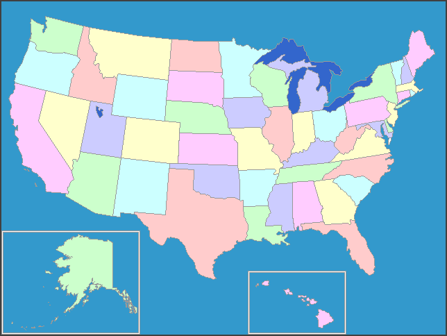
United States Map |
Larger Interactive Map of
the United States More maps: Maps that Teach |
|
|
|
The United States goes from the Atlantic Ocean in the east to the Pacific Ocean in the west. It is in the middle of the continent of North America, north of Mexico and south of Canada. The states on the southern edge, to the east, touch the Gulf of Mexico. There are two states, not contiguous to (not touching the other parts) the rest of the United States: Hawaii, in the middle of the Pacific Ocean, and Alaska, on the northwest coast of North America, bordering Canada. In the broad swath of the United States across the continent, there are a great variety of climates and landscapes—temperate rainforest to desert, fertile plains to icy mountains. United States Map information from:
The CIA World Fact Book Free Educational Software:
Owl and Mouse Educational Software
|