Quill's Quiz - 1100 Question US Mega Geography Quiz
Print this map of Uruguay US States and Capitals Map Quiz
Free Maps, Map Puzzles and Educational Software: Owl and Mouse Educational Software
Print this map of Uruguay US States and Capitals Map Quiz
Free Maps, Map Puzzles and Educational Software: Owl and Mouse Educational Software
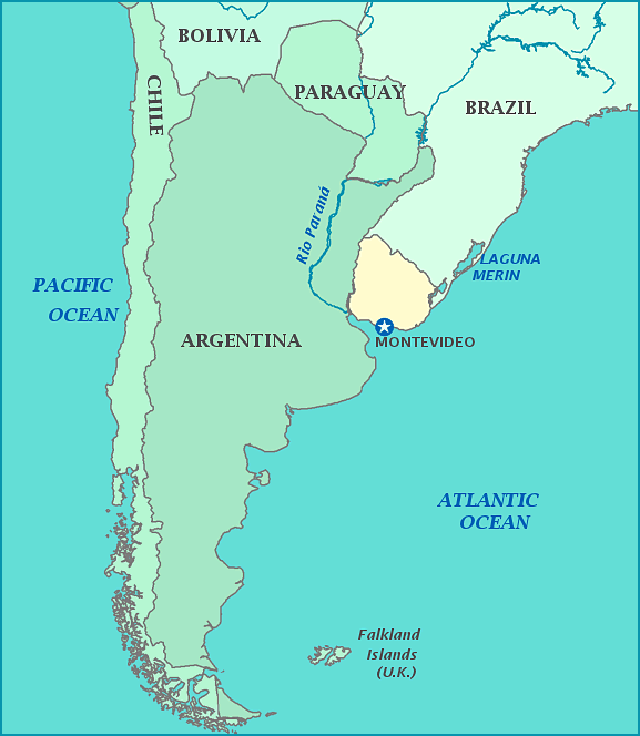
Uruguay
The Republica Oriental del Uruguay is the second smallest country in South America. Most of what is now commonly called Uruguay was barely inhabited, only by the Charrua tribe, until Europeans arrived.
The area was originally discovered by the Portuguese in 1512, with the Spanish arriving to explore it as well in 1516. Neither settled the area very much; the few natives weren't easy to fight off and there was no precious metal to be found—the only interest Europeans had at the time. The Spanish introduced cattle in 1603, but did not create a permanent settlement until 1624. In retaliation, Portugal founded Colonia de Sacramento in 1666 and built forts around in until 1671. This began a fight between the two empires to buffer each other's expansion.
In 1811, Gervaiso Artigas led a revolution against Spain and claimed the area as an autonomous nation. Gervasio organized the Federal League, made up of 6 provinces (4 were eventually taken by Argentina), and established the new nation of Banda Oriental. Because the new nation claimed former Spanish and Portuguese territory, Brazil attacked with 10,000 soldiers in 1816. When the Brazilian empire became independent in 1822, Banda Oriental re-declared independence of its own. Although independent, the aggression between the two countries did not fade and eventually led to the Cisplatine War, which only ended with interference between the UK and the Treaty of Montevideo in 1828.


