
Quill's Quiz - 1100 Question US Mega Geography Quiz
Print this map of the Togo US States and Capitals Map Quiz
Free Maps, Map Puzzles and Educational Software: Owl and Mouse Educational Software
Print this map of the Togo US States and Capitals Map Quiz
Free Maps, Map Puzzles and Educational Software: Owl and Mouse Educational Software
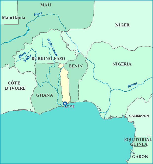
Togo
The country of Togo is officially called the Republique du Togolaise. It borders the Bight of Biafra, pat of the Atlantic Ocean. The land was claimed as a protectorate by Britain in 1884 after the Berlin Conference and the 'Scramble for Africa', where European countries raced to claim as much land in Africa as possible. Various tribes, kingdoms, and peoples were pushed out, pushed in, absorbed and conquered by each other from the 11th century BCE to the 16th century CE. In the 18th century, King Malapa II signed a treaty to hand over what was known as Togoland to Germany as a protectorate. France claimed it after WWI, and the country was granted independence in 1960. Gnassingbe Eyadema, a former president of Togo, was the longest serving leader in modern African history, holding the record at 38 years.
