
Quill's Quiz - 1100 Question US Mega Geography Quiz
Print this map of Southeast Asia US States and Capitals Map Quiz
Free Maps, Map Puzzles and Educational Software: Owl and Mouse Educational Software
Print this map of Southeast Asia US States and Capitals Map Quiz
Free Maps, Map Puzzles and Educational Software: Owl and Mouse Educational Software
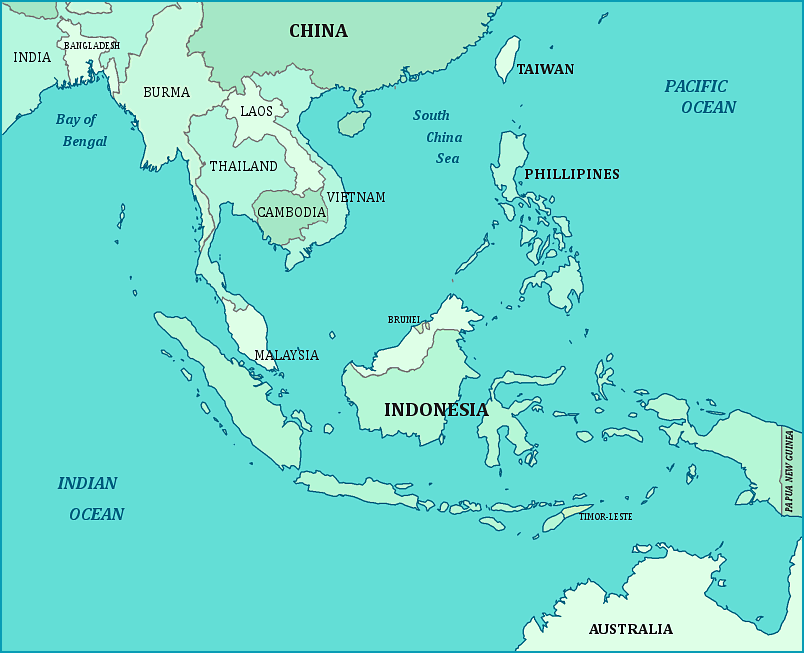
Southeast Asia
Southeast Asia consists of the countries on the southern part of the Asian continent, plus the countries (many of them islands) between the Indian Ocean and the Pacific ocean. Most of these countries border China or the South China Sea; all of them have been heavily influenced by the Chinese civilization.
There was major trade between countries in Southeast Asia from early times, beginning with primitive boats which could only sail certain directions during certain times of the year. Later the Portuguese and other Europeans were trying to get to the “Spice Islands” of Southeast Asia. The Portuguese sailed east around Africa, and other Europeans sailed west (into the Americas) trying to reach the sources of valuable spices, and avoid the Arabs controlling the spice trade through the Middle East. The Portuguese, and later the British and the Dutch gained control of the spice trade in the area they called “the East Indies”. The trees giving cinnamon, cloves and nutmeg were centered around the Moluccas (an archipelago within Indonesia), and specifically the island of Banda. Pepper and ginger were grown in many parts of the region.
