
Quill's Quiz - 1100 Question US Mega Geography Quiz
Print this map of Senegal US States and Capitals Map Quiz
Free Maps, Map Puzzles and Educational Software: Owl and Mouse Educational Software
Print this map of Senegal US States and Capitals Map Quiz
Free Maps, Map Puzzles and Educational Software: Owl and Mouse Educational Software
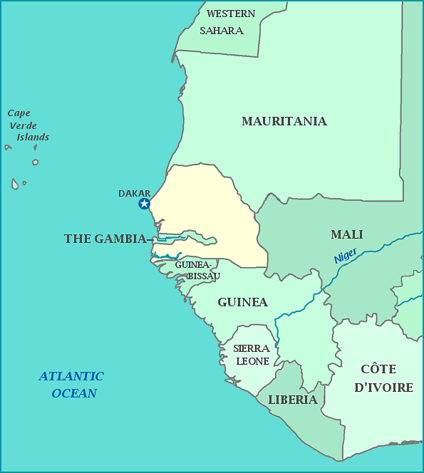
Senegal
Named after the river that flows through it, the Republic of Senegal—known as just Senegal on maps—was once part of Senegambia. Senegal is on the western tip of Africa, reaching out into the Atlantic ocean. The nation called The Gambia is entirely surrounded by Senegal, except for its short coastline. When Gambia was part of the Jolof Empire and held that name, approximately 1/3 of the population was enslaved. The land was slowly colonized by the French, who abolished slavery wherever they ruled, though France did not take over officially until 1850. The country became known as Senegal under French rule. The country became independent and Dakar became the capital in 1960. Because the Marabouts, leaders of the Senegalese Muslim Brotherhood, have significant control over the government these days, the country has been downgraded from 'free' to 'not free' by Freedom House. 94% of the population is Muslim.
