Quill's Quiz - 1100 Question US Mega Geography Quiz
Print this map of Liberia US States and Capitals Map Quiz
Free Maps, Map Puzzles and Educational Software: Owl and Mouse Educational Software
Print this map of Liberia US States and Capitals Map Quiz
Free Maps, Map Puzzles and Educational Software: Owl and Mouse Educational Software
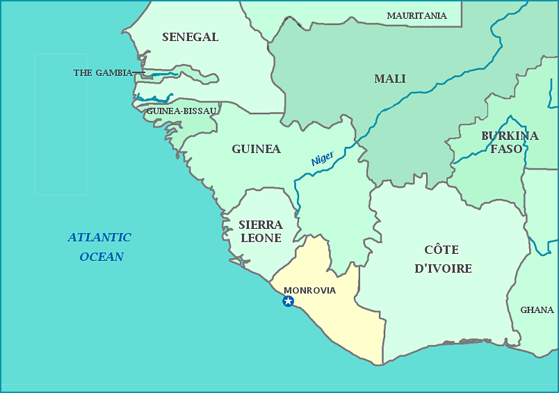
Liberia
The coast of the country of Liberia, which is officially called the Republic of Liberia, is mangrove forests, and most of the environment consists of mangrove forests, swamps, rainforests, or semi-deciduous forest. It is one of the only two countries without cultural roots tied to European colonization of Africa. It was colonized in 1820 by free US African-Americans, most of whom were former slaves, and even today, most of the architecture is based on old southern plantation mansions. African captives freed from slave ships were sent to the Liberian coast after that, although previously natives had traded heavily in the slave trade. In 1847 Liberia was officially established as a country, with a government based on that of contemporary America. The country began to modernize thanks to monetary funds from the US during WWII, however later a period of economic instability led to a military coup followed by two civil wars which left 250,000 thousand dead. The country was a vocal critic of apartheid laws in the 1950's. Today, it is one of the poorest countries in the world, with a 15% employment rate, and 85% of the population lives in poverty. Boys receive 11 years of school on average and the estimated literacy rate for men is 64.8%; girls receive 8 years of school on average and the literacy rate for women is 56.8%. The average fertility rate is 5.9 children per woman. The country imports 90% of its grain and thus the population is highly vulnerable to food shortages. The official language is English.


