
Print this map of the Congo US States and Capitals Map Quiz
Free Maps, Map Puzzles and Educational Software: Owl and Mouse Educational Software
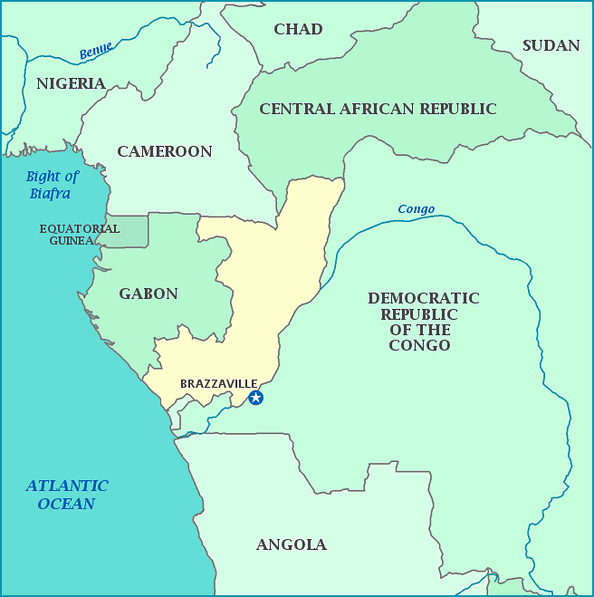
The Republic of Congo, often called Congo-Brazzaville, followed Marxism in 1970-71 after adopting 'scientific' socialism in 1963, and has been without multi-party elections since the civil war in 1997. The earliest inhabitants, the Pygmies, still live there today, partially thanks to the efforts of UNICEF. The Republic of the Congo came under French sovereignty in 1880. It is estimated that 14 thousand indigenous people lost their lives under harsh forced labor building the Congo-Ocean Railroad. Congo became a 'second' or Free France while France was under Nazi control during WWII. It gained the name Republic of Congo in 1958 and independence in 1960. Most media are still controlled by the government. Thanks to the country being situated on the equator, year-round temperatures are fairly consistent. The Republic of the Congo is home to 125,000 Western Lowland gorillas.
