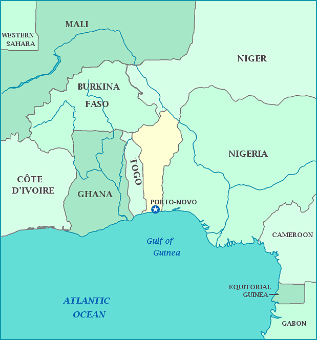
Print this map of Benin US States and Capitals Map Quiz
Free Maps, Map Puzzles and Educational Software: Owl and Mouse Educational Software
Benin is located in western Africa. It is a small country, with a short coast line facing the Bight of Benin, (part of the Gulf of Guinea and the Atlantic Ocean.) To its east is Nigeria, to the north Niger and Burkina Faso, and Ghana to the west. Its capital is Porto-Novo, but the seat of government is Cotonou.
Benin was previously known as Dahomey, after the Dahomey people. These were fierce warriors, also known as Black Spartans or Dahomean Amazons. For a long time, they had little fear of Europeans, and participated in the slave trade. The country gained independence on November 30, 1972, and became Marxist. Marxism ended when the banks collapsed in 1989. Since then, the country has become a republic with the seat of the government in Cotonou while the capital is Porto-Novo. The official language is French. Benin is on the Gulf of Guinea, part of the Atlantic Ocean.


