
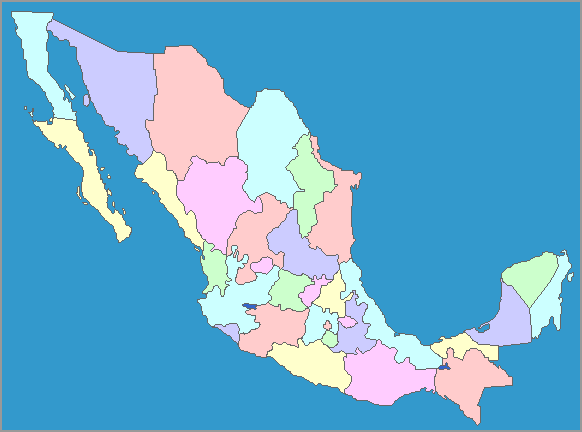
The map of Mexico
shows the states that make up the country. It also shows the Pacific
Ocean and the other bodies of water that surround the country. Mexico
is one of the three large countries that go across the continent of
North America, from the Atlantic Ocean (or the Caribbean Sea and the
Gulf of Mexico, which are part of the Atlantic Ocean) to the Pacific
Ocean. Located south of the United States, Mexico continues south to
the borders of Guatemala and Belize in Central America.
The states of Mexico reflect some of the cultures of the various Native American groups that lived there in pre-Columbian times and left a rich archeological heritage for everyone to see. The Mayas on the Yucatan peninsula; the Aztecs in central American, the Zapotecs and Mixtecs in Oaxaca, the ancient Olmecs, and many other civilizations have contributed to the culture of modern-day Mexico.
The states of Mexico reflect some of the cultures of the various Native American groups that lived there in pre-Columbian times and left a rich archeological heritage for everyone to see. The Mayas on the Yucatan peninsula; the Aztecs in central American, the Zapotecs and Mixtecs in Oaxaca, the ancient Olmecs, and many other civilizations have contributed to the culture of modern-day Mexico.
