
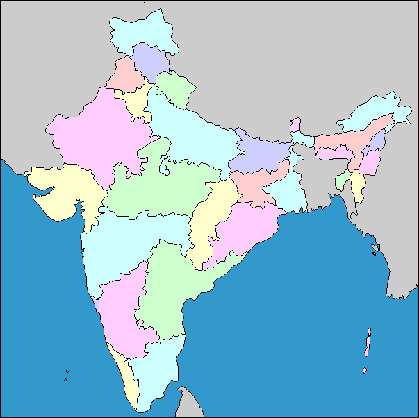
The map shows the states and capitals of India,
and the Arabian Sea and the Bay of Bengal to the south of India. India is in south Asia, on the subcontinent named for the country, into the ocean similarly named. By population it is the second largest country in the world. To the north, India is separated from the rest of Asia by the towering Himalayan mountains, the highest in the world. India has borders to its north with Pakistan, China, Nepal and Bhutan. To its east is Burma. India surrounds Bangladesh, formerly part of Pakistan, on three sides.Many of the present-day states of India reflect the borders of former kingdoms, princely states, and territories of India, both from pre-colonial and under British rule. Various regions have distinct languages and customs, and often a variety of languages are spoken even within a state. India has been the scene of many divisions and mergers of political entities. What was the British colony of India was divided upon independence, basically on religious grounds, into India and Pakistan. Bengal was divided in to East Bengal (Muslim) and West Bengal (Hindu and Sikh); East Bengal became part of Pakistan, and then the independent country of Bangladesh, while West Bengal became a state of India. Sikkim, now a state of India, was a separate kingdom until 1975.
